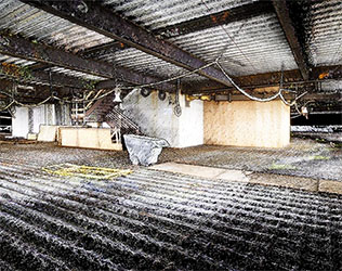
Exyn - Meet Nexys
Introducing Nexys. A modular mapping and surveying ecosystem that allows users to quickly capture highly accurate, colorized, real-time 3D point clouds in complex, GPS-denied environments. Fully autonomous when you need to explore, and easily modular when you can capture by hand.
For more information
Categories: Geotechnical Services GPS - Surveying and Guidance
2024-03-19 | Exyn Technologies | United States | Views 387


