Wingtra Introduces Map Processing Capabilities for WingtraCLOUD
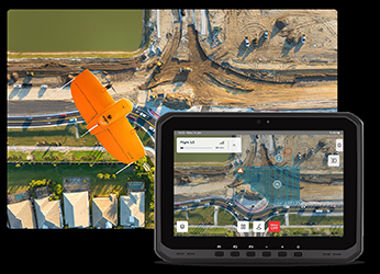
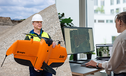
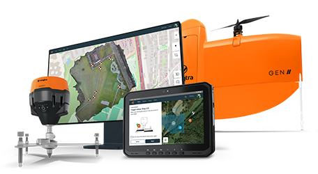
Wingtra has introduced a new update to its WingtraCLOUD platform, adding map processing capabilities. This upgrade is aimed at simplifying drone mapping operations by integrating mission planning, data capture, and insight sharing into a single platform. The new feature is intended to streamline workflows, reduce the need for multiple tools, and lower the risk of errors.
The cloud-based processing functionality enables users to quickly convert drone data into detailed outputs such as orthomosaics, point clouds, and meshes. This enhancement is expected to benefit industries like construction, mining, and disaster response by providing faster access to actionable insights.
“With cloud-based processing now integrated into WingtraCLOUD, this update makes drone-acquired data more accessible and useful for a wide range of teams,” said Vaibhav Sawhney, Product Manager at Wingtra.
For more information
Categories: Drones Geotechnical Products Geotechnical Services Surveying Equipment
2024-09-05 | Wingtra AG | Switzerland | Views 992

